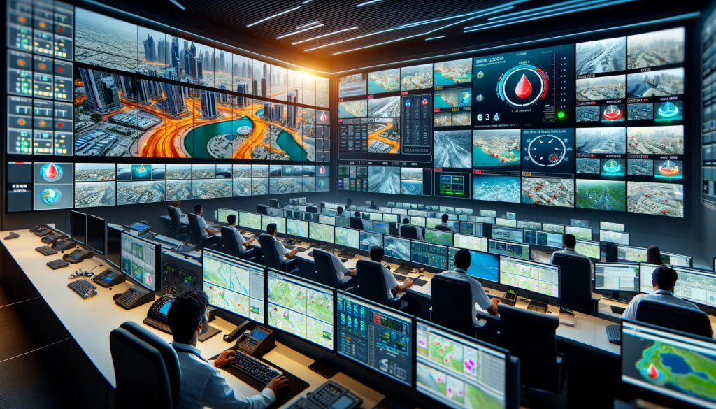
Heat Maps and Surveillance Cameras
The RTA’s Joint Flood Management Room uses these technologies to closely monitor response plans and efficiently distribute teams and resources. The use of heat maps (GIS Maps) helps identify areas of water accumulation, while the 450 surveillance cameras, covering 91% of identified areas with rainwater ponds on the city’s main roads, provide live footage to aid in quick decision-making and resource allocation. This integrated approach has led to a 36% improvement in response and recovery times during heavy rain.
Collaboration with Meteorological Experts
Additionally, the RTA is working with the National Centre of Meteorology (NCM) to enhance the collection and dissemination of weather forecast information. This collaboration aims to improve the preparedness of teams to deal with water accumulations and efficiently communicate with the public during adverse weather conditions.
Public Awareness and Communication
During inclement weather, the RTA proactively sends out information and warning messages through digital channels, including social media. These messages, based on NCM data, highlight the need for caution and safe driving for road users.
The EC3: A Centralized Control Hub
The Joint Flood Management Room is located at the Enterprise Command and Control Centre (EC3), one of the largest and most sophisticated control centres. The EC3 oversees a transportation network of over 8,000 km of roads and processes feeds from more than 7,000 surveillance cameras. Its capabilities are enhanced by artificial intelligence, aiding in incident and crisis management.

Conclusion: Enhancing Dubai’s Flood Response
Dubai’s adoption of advanced technological solutions for flood management demonstrates the city’s commitment to addressing the challenges posed by heavy rains. By leveraging surveillance technology, heat maps, and strong meteorological collaborations, Dubai is setting a new standard in urban flood management and public safety.


